Maps stop at the door. CampusMaps walks you to the room.
The problem
Finding the room is the hard part.
Buildings are confusing. Hallways that look connected aren't. Maps stop at the door, and there is usually a faster way in than the one you took.
The app
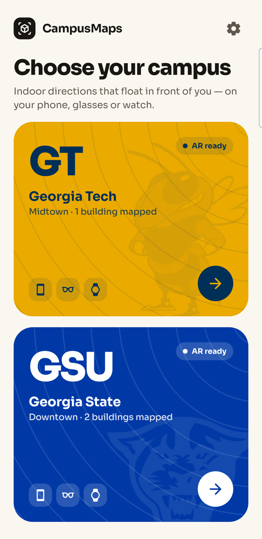
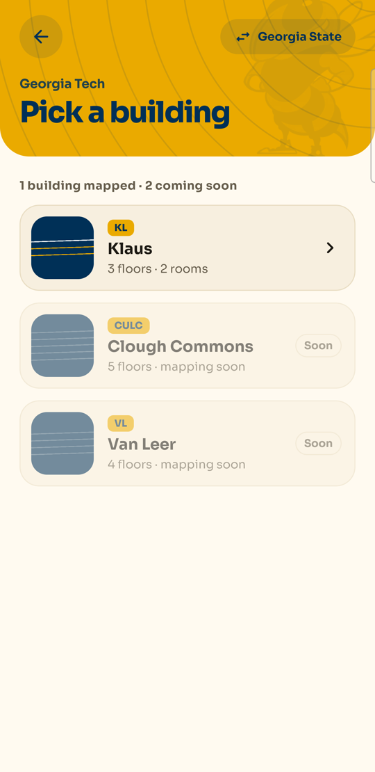
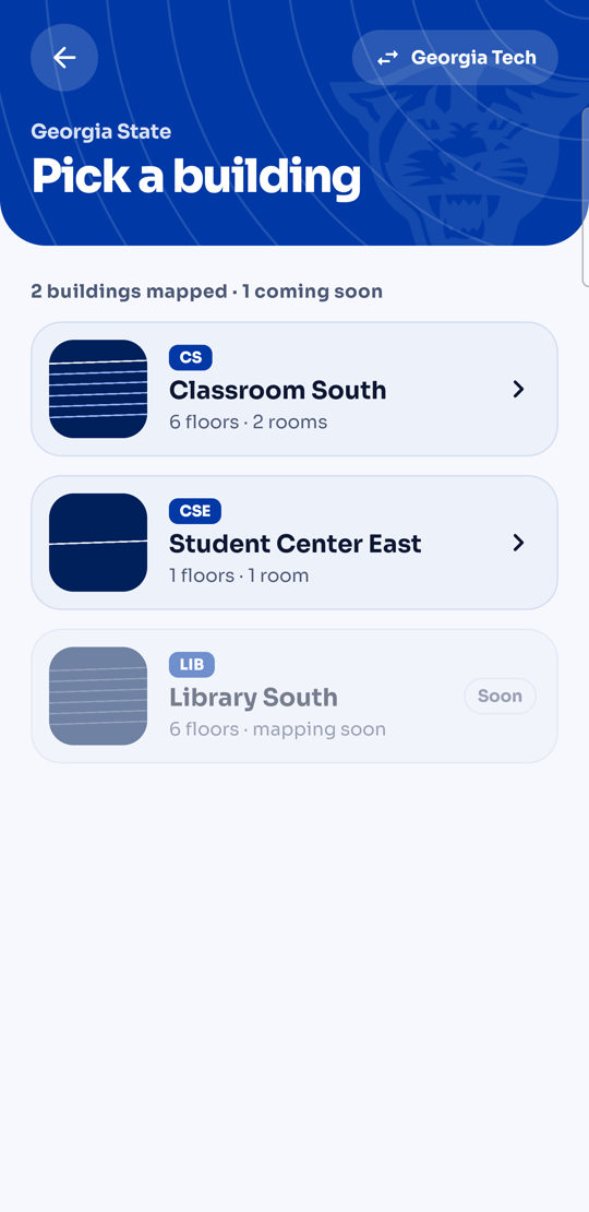
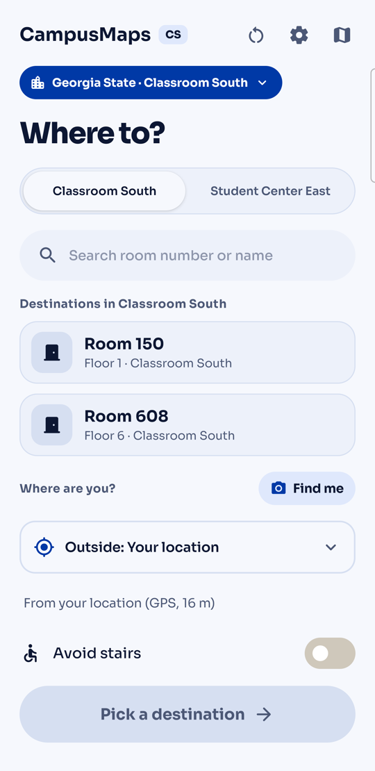
Pick a campus. Pick a building. Say where.
Georgia Tech and Georgia State, each with its own look. Three buildings mapped so far; the rest are one survey walk away.
How it works
Pick a room. Walk. Hands-free if you want.
The phone does all the thinking, offline. The glasses and the watch just tell you where to go.
Surveyed on foot
Every building is a graph we measured ourselves.
Classroom South
Three floors, five doors, one elevator that waits 3 s.
Routing that thinks
Doors, hours, stairs versus elevator, PantherCard.
Localisation
GPS to the door. Signs, compass and barometer to the room.
Under the hood
Native Android, one pure-Kotlin core, three device APIs.
Route engine core/
Dijkstra over the building graph, pure Kotlin, no Android. Weighs every entrance × stairs or elevator, elevator wait, door hours and PantherCard windows. now is a parameter, never the clock.
Localisation outdoors → door → room
ARCore Geospatial API (VPS, ~1 m) to the door, the door's measured heading + compass for the first indoor fix, ML Kit text recognition on room signs and ARCore Augmented Images on posters for exact fixes, the barometer for floors.
Phone AR Galaxy S25 Ultra
ARCore 1.56 + SceneView 4.38 in Jetpack Compose. World-locked metre-wide arrows, an amber turn arrow, a floating post on the room. Maps Compose for the outdoor leg.
Glasses Ray-Ban Meta Gen 2
Meta Wearables Device Access Toolkit. The glasses capture a burst of 2–3 stills, the phone recognises the sign, the glasses speak the turn. Camera and audio never overlap.
Watch Galaxy Watch 8 Classic
Wear OS app, Data Layer API from the phone. Each RouteStep lands in under a second: arrow, distance, and a haptic pattern per step type. Ambient mode keeps the arrow up.
Voice + data offline first
ElevenLabs voice per campus, every sentence cached on the phone, Android TTS as fallback. Buildings are JSON graphs made by walking them with the survey tool, checked by a validator.
On the phone
Metre-wide arrows on the floor.
An amber arrow at the turn.
- Arrows anchored to the real floor"Turn right at Elevator lobby turn", counting down from 21 m to 2 m
- Reroutes when you drift"Rerouted (1)", back toward Elevator lobby, floor 1
- Floor changes built in"Take the elevator to floor 6", then out to Elevator lobby, floor 6
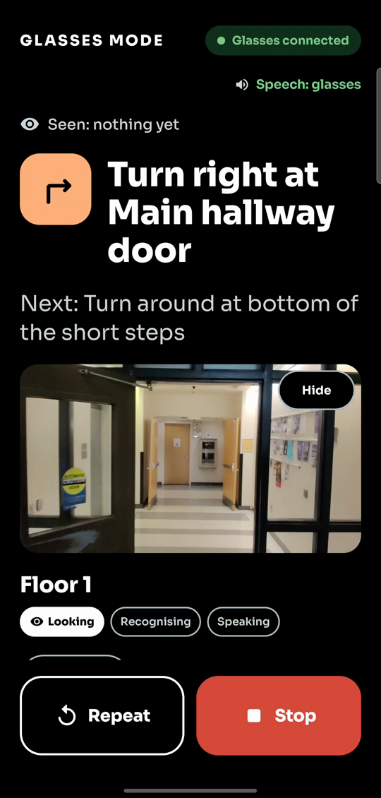
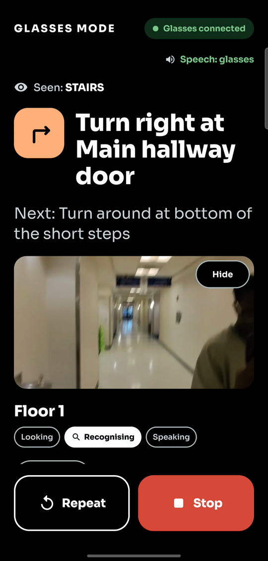
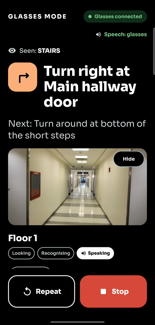
Hands-free
Look, then listen.
- Looking: Ray-Ban Meta camera burst2 to 3 stills, then speech. Camera and mic never overlap
- Recognising: sign OCR + image anchorsOn the phone with ML Kit, offline. Here it read STAIRS
- Speaking: the turn, in your earVoice cached per sentence, ElevenLabs, phone TTS fallback
On the wrist
The watch buzzes each turn. You never look down.
Every step reaches the Galaxy Watch within a second. Each step type has its own rhythm.
Where it stands
Built, tested on device, ready for more buildings.
Works today
- 3 buildings surveyed: Klaus, Classroom South, Student Center East
- Time-aware routing, 45 core tests
- Phone AR guidance + reroute
- Watch arrows and haptics
- Glasses loop: look, recognise, speak
- Core 45 tests · app 41 · watch 4, all on device
Next
- Class-schedule sync: "take me to my 2 PM"
- Crowd-sourced anchors and shortcuts
- More buildings, a university pilot